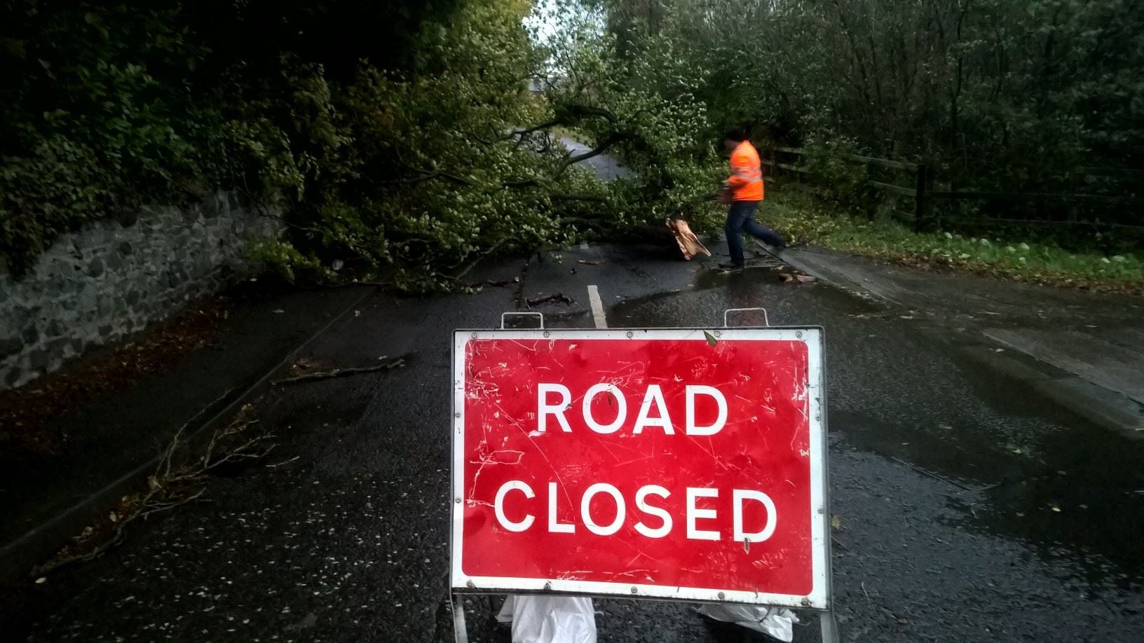
High winds and heavy rain look set to batter Co Armagh and areas right across Northern Ireland on Friday and Saturday.
The Met Office has issued two separate yellow weather warnings as Storm Erik – the fifth named storm of the season – arrives tomorrow.
The advisory warning will come into effect from 9am tomorrow morning – earlier in western parts of Ireland – and will remain in place until 6pm.
There will be chances of storm-forced gusts throughout the day.
A graphic from the UK Met Office shows Storm Erik coming in from the Atlantic and tracking northwards, bringing a band of rain that will start in western areas before moving eastwards.
#StormErik has been named by @MetEireann for the area of low pressure arriving on Friday. Impacts will be greatest across Ireland though warnings are in force across parts of the UK – Stay #weatheraware pic.twitter.com/ca1VqXoQ6G
— Met Office (@metoffice) February 7, 2019
Met Office Chief Meteorologist, Will Lang, said: “Southwesterly winds will strengthen across the UK on Friday, so it’s going to be a windy day for everyone.
“Across southern parts of the UK gusts will reach 40mph widely inland, however the strongest winds are expected across Northern Ireland and Scotland, with gusts of 50 to 60mph possible.
“This swathe of strongest winds will spread to parts of northern England early on Saturday morning.”
Mr Lang added: “Where the winds are strongest there could be some disruption to transport, with delays and bridge closures possible.
“Large waves are expected across coastal areas where gusts could reach 70mph, possibly affecting coastal routes and sea fronts.
“The good news is Sunday will be a less windy day for most of us as Storm Erik moves towards Scandinavia, however it could stay windy for a time in parts of northeast Scotland.”


